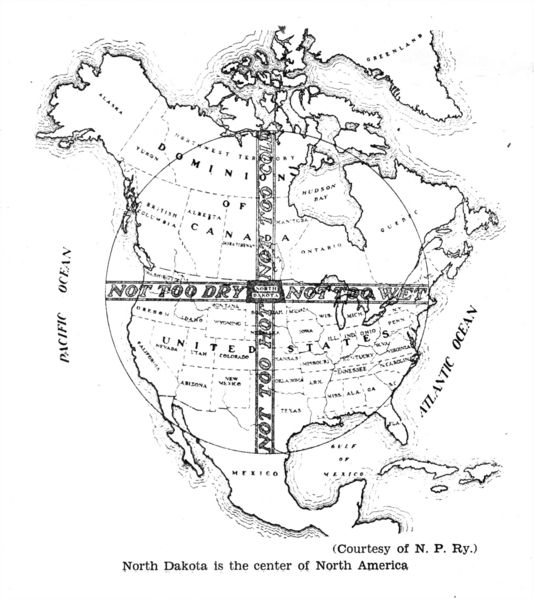
Saying "
North Dakota is the center of North America" is a factual truth; just outside
Rugby N.D. is a monument to that fact. What's more remarkable is the interpretive turn: the map paints North Dakota as the baby bear's porridge of our continent. West is Too Dry, north is Too Cold, east is Too Wet, and south is Too Hot. North Dakota meets in the middle, and is thus the perfect place to live, right? I'm a fan of the state, you know, but we're actually in a position that gets all of the above: deadly droughts, destructive floods, sub-zero winters and 100°+ summers. It seems the cartographer who drew the map was mistaking us for Hawaii. I know, it's an easy mistake to make, but it's an over-simplification of what North Dakota's climate is like.
Labels: 1929, maps, north dakota history
