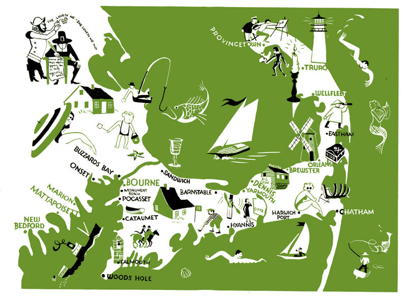
Cape Cod Illustrated

This map, short on words but large on illustrations, diagrams just a small portion of Massachusetts known as Cape Cod. It was printed as part of a booklet by the New York, New Haven, and Hartford Railroad Co (which, in turn, was part of a 7-booklet set covering the entirety of the railroad's reach). The booklets were designed for tourists and encouraged them to contact the railroads internal 'travel bureau', as though East Coast residents had no idea the Cape was known for its beaches and fishing -- although its target was probably not locals, but folks like me from the flyover states who'd be intrigued by the treasure chest marked "Kidd". I had no idea his lost treasure was marked so clearly on local maps!


